-40%
⫸ 1979-8 August BIRD MIGRATION in the Americas National Geographic Map XAL
$ 0.52
- Description
- Size Guide
Description
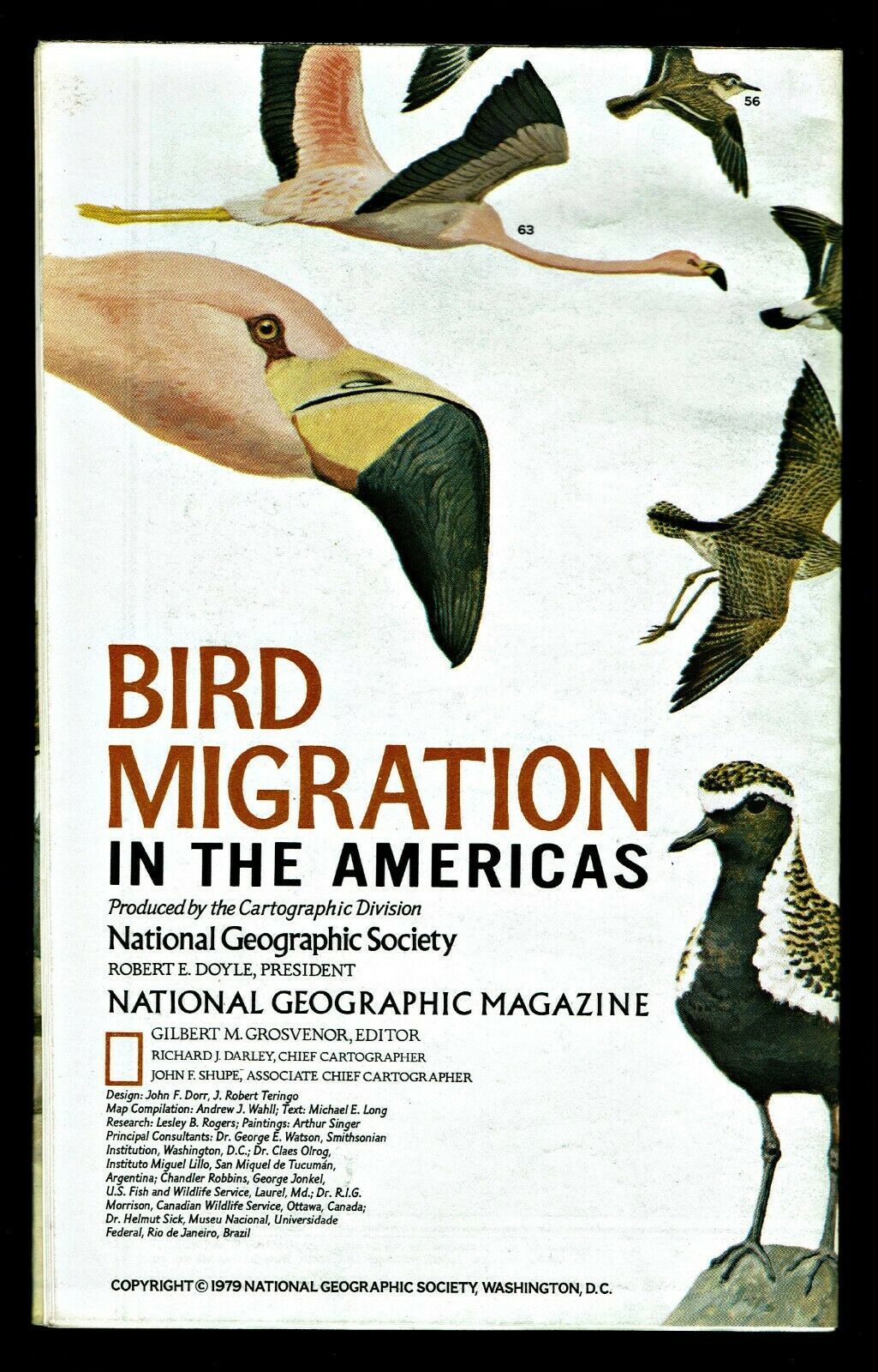
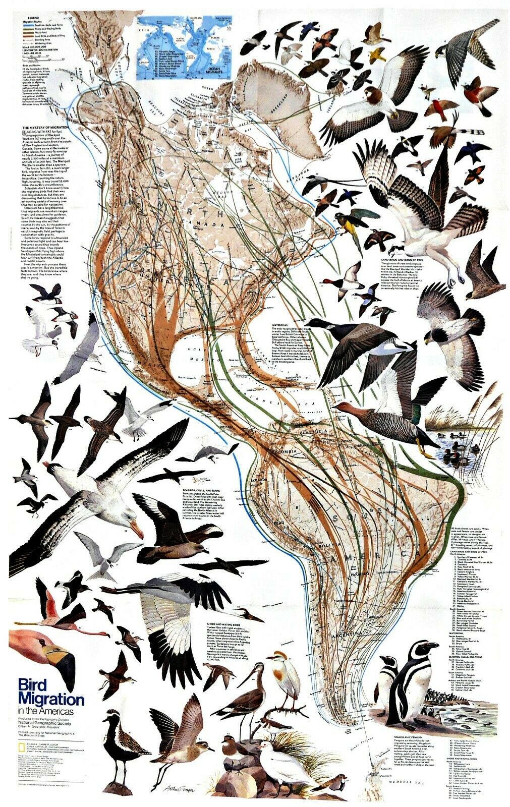
⫸1979-8 Bird Migration in the Americas – National Geographic Map Poster School
A significant study about bird migration patterns in the Americas. The map-side primarily contains a political map (showing countries and states) of the Americas from the Arctic Circle in the north, down to Antarctica in the south. There is also a large map inset of the same area in the form of a topographical physical map. The reverse-side shows the same area on which is superimposed the color-coded migration routes of the various types of birds: seabirds, shore and wading birds, waterfowl, land birds, and birds of prey. Also marked are breeding areas and wintering areas. 67 different birds are illustrated in detail, each numbered, with the corresponding migration routes also numbered. A beautiful map which should be a part of every collection.
Maps relating to bird migrations are:
1979-8 Bird Migration in the Americas;
2004-4 Bird Migration in the Eastern/Western Hemispheres;
2010-11 Worlds Great Migrations, and
2018-3 How Birds Migrate
Map is approximately 22” x 36”.
The National Geographic is known for it's fine maps & detailed information.
Supplement to the National Geographic Magazine; magazine is not included.
Always use your cart to obtain any discounts!
U.S. Shipping
- Please select:
1) USPS Mail Service or Media Mail (average delivery time) .50 for the first item and 50
¢ for each additional item.
2) USPS Package Service (faster delivery and with tracking) .00 for the first item and 50¢ for each additional item.
SAVE - MAP SALE - Select ANY 5 Maps - The lowest priced item is
FREE
- See eligible items above (top left).
